


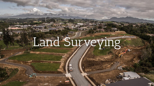
Bland & Jackson Surveyors offer a wide range of Land Surveying, Engineering & Resource Management Services Contact us today to discuss our services further.
Topographical surveys are undertaken to provide a plan showing ground elevations and physical features such as buildings, fencing, embankments and utility services. This information is used for the design of new buildings, renovations and extensions to existing buildings, development planning and quantifying earthworks.
Redefinition surveys are undertaken to reinstate or locate existing boundary positions and are often required for property purchases, new building work and new fencing.
These surveys are completed for builders and contractors requiring precise ground positions established.
Bland & Jackson Surveyors have the ability to create coloured Farm Maps showing individual paddocks and areas with aerial photography to help with many aspects of your farming practices. We can provide A0 to A4 prints of the farm or individual paddocks, these can be customised to suit your needs.
Every urban or rural subdivision requires all new boundary positions to be defined and the preparation and processing of Land Transfer Plans completed by a suitably qualified surveyor.
We can advise whether projects will comply with Regional and District Plans, attend to all consent application requirements and assist with consent compliance obligations.
These are surveys undertaken to record the locations of critical infrastructure such as manhole locations, fire hydrants, watermain valves and service connections.
These are precise and repetitive surveys undertaken where monitoring of structures or ground movement is required. Examples of structures that may need monitoring are dams, retaining walls and reservoirs.
Surveys and plans preparation to define rights for a land owner or service owner to use land owned by another (eg electricity, water, gas, right of way easements).
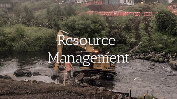
We can advise whether projects will comply with Regional and District Plans, attend to all consent application requirements and assist with consent compliance obligations.
Consents are required to be submitted to Territorial and Local Authorities for approval. We prepare the plans and supporting application documents required to be considered and approved before a specific landuse or subdivision can be undertaken within the rules of any District Plan.
All consent applications require an assessment of effects to be prepared and submitted as part of the application. It involves an assessment of the impact your proposal may have on the environment.
Some consent applications may involve the need to obtain affected party consents or wider consultation with local community and Iwi or specific entities such as Department of Conservation, historic places trust, NZ transport agency.

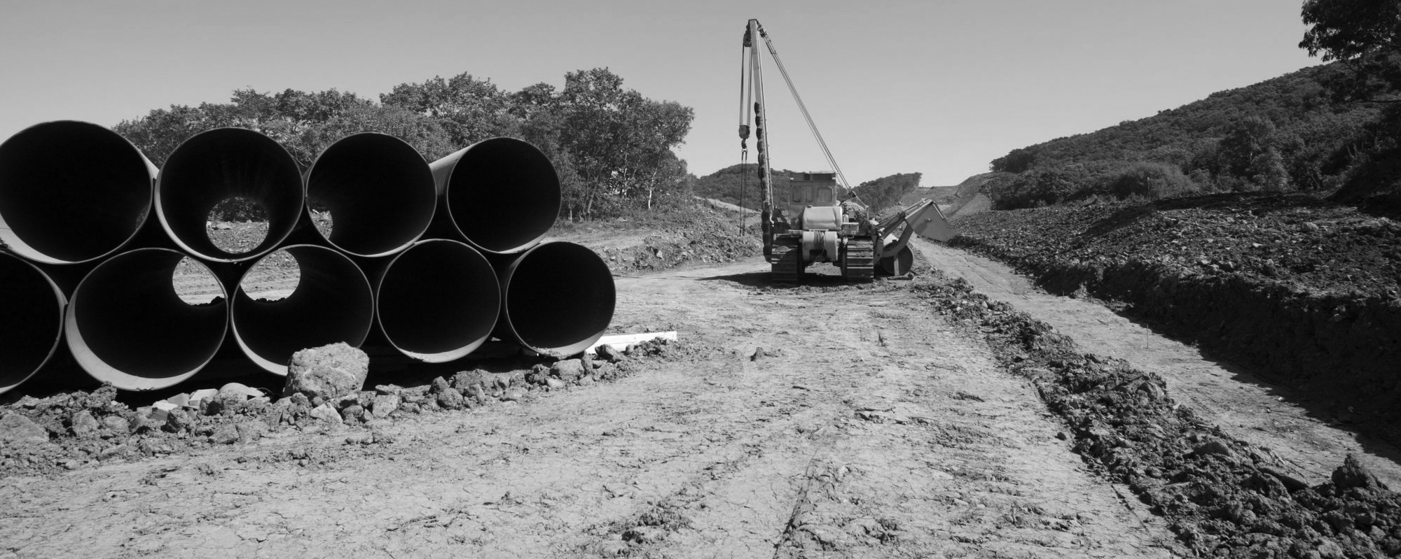
We undertake surveys for the design of pipeline routes as well as as built surveys to record the location of completed pipeline installations for the utility providers records and the preparation of easement plans required.
Topographical surveys are undertaken to provide a plan showing ground elevations and physical features such as buildings, fencing, embankments and utility services. This information is used for the design of new buildings, renovations and extensions to existing buildings, development planning and quantifying earthworks.
Topographical surveys are also undertaken for stocktakes and compliance obligations for quarry operations, earthworks areas, fertiliser stocks or any other irregular feature. The surveys facilitate the determination of volume or quantities involved.
We provide design, supervision and contract management services for all Residential, Industrial & Commercial developments involving the construction of new roading, wastewater, stormwater, water reticulation and utility services.
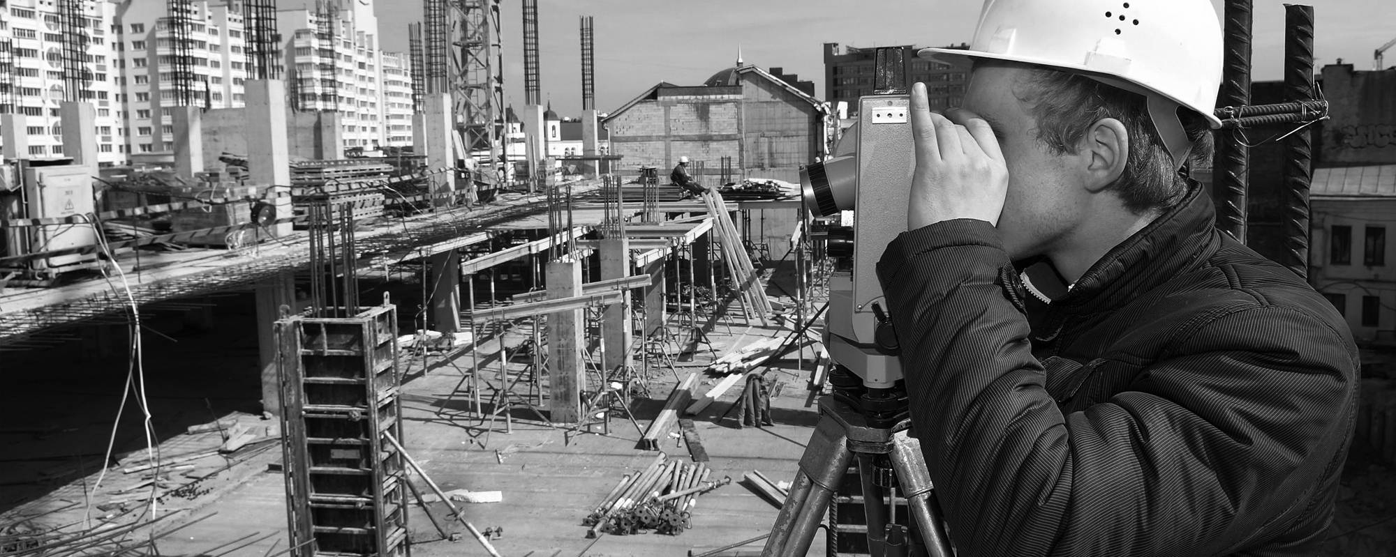
Larger industrial & commercial construction and some residential buildings require a surveyor to accurately locate positions required prior to and during the construction phase. As Built surveys are required to record and verify completion and location of completed work.
Surveys are undertaken to monitor ground movement, structures (such as dams, reservoirs, stormwater ponds) and record coastal erosion or accretion.